


To help customers plan their journeys better, Transport for London (TfL) has entered a collaboration with Google to extend the coverage of Google Street View to within some of London's stations.
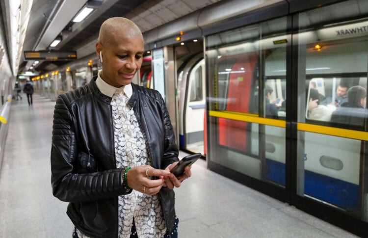
To provide the information, cameras will capture 360-degree images from inside of around thirty Tube stations, including Green Park, King's Cross St Pancras, and Waterloo, and will provide virtual representations of the stations.

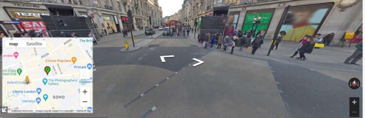
Through the innovation of being able to show routes through the stations, Transport for London hopes that Google Street View will enable customers to find their way around stations in the same way they would as if they were walking and cycling across the Capital. It is also hoped that the new Google Street View feature will benefit customers with accessibility needs anyone who is unfamiliar with travelling around London.

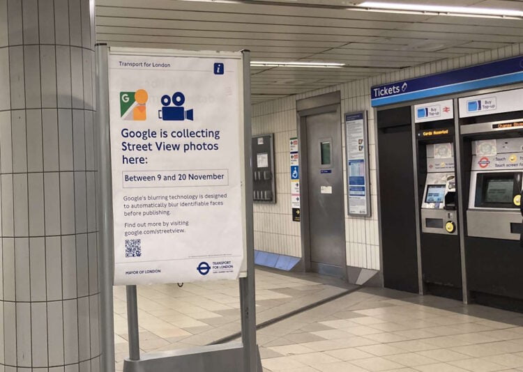
Google will start collecting the necessary Street View images within the next few weeks. To make people aware that imagery is being collected, relevant posters will be displayed at stations to alert customers that imagery capture be happening.
A small team organised by Google will collect the images using a 360-degree backpack camera, and will restrict collection to between 10 am and 4 pm to avoid peak hours. Google will apply its blurring technology to the imagery to ensure that any identifiable faces are blurred before publishing.

Once the images have been captured and incorporated into Street View, the feature will be launched in 2024, when customers are planning their journeys or changing between different Tube lines, they will have a better understanding of station layouts, as well as knowing where to find key facilities such as toilets and help points.
Deputy Mayor for Transport, Seb Dance, said: “I am delighted we are working with Google to bring Street View to the Tube. This exciting new project will give people the ability to plan their routes on the London Underground in the same way they would when walking and cycling across the city. Introducing Street View will support people to better navigate some of the capital's busiest stations and help us to build a better, more accessible London for all.”
Thomas Ableman, Director of Innovation and Strategy at TfL, said: “This innovative project with Google will allow our customers to use Street View to chart their way through our stations, helping them build confidence in using our network when visiting London as well as plan the best way to interchange between lines. Working with companies like Google shows how we can use new tools and technology to bring the best service to our customers.”
Sarah-Jayne Williams, Global Product Partnerships Director at Google Maps, said: “Since launching in 2007, Google Street View has been hugely popular with people across the globe and we're thrilled to collaborate with TfL to extend our Street View coverage in London. For the first time, users will be able to explore the capital's busiest stations like never before and plan out their journeys. We hope this will help everyone feel more comfortable during their travels, particularly those with accessibility needs.”


