


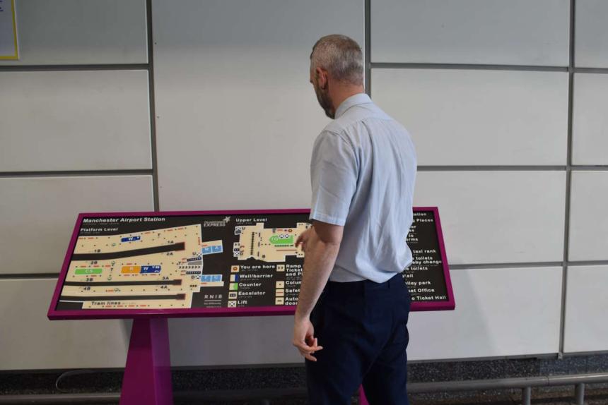
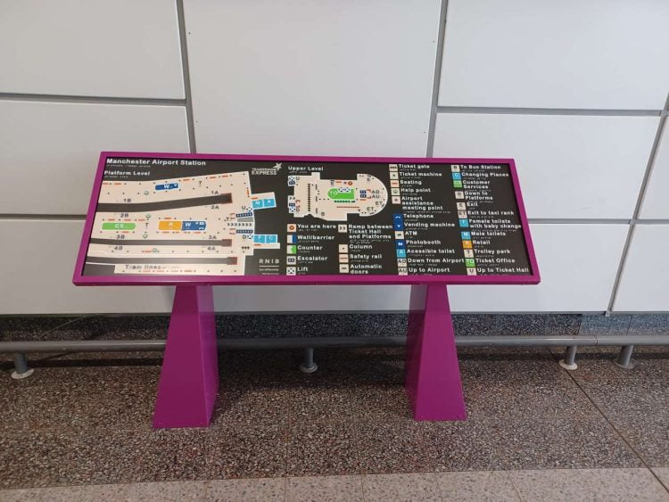
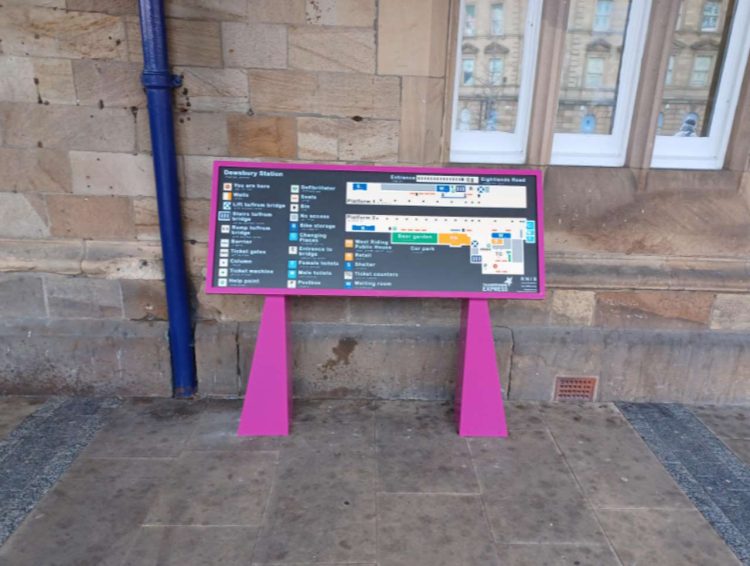
TransPennine Express (TPE) has installed new tactile maps at Hull Paragon, Dewsbury and Manchester International Airport (MIA) to assist visually-impaired passengers in accessing rail travel.
The Royal National Institute of Blind People (RNIB) developed and produced the ‘Map for All', which is designed to be used for use by people of all ages and abilities. RNIB reports that there are there are around two million people in the UK with significant sight loss and millions more who struggle with standard print and signage.

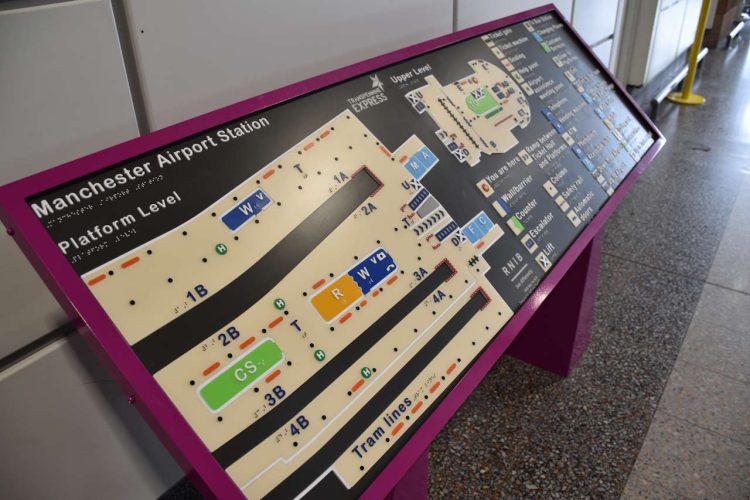
The maps can be read by sight or touch, or by a combination of both. The core principle of the design is ‘access for all', and they assist blind and partially-sighted people in travelling more independently when visiting a wide variety of buildings and venues.

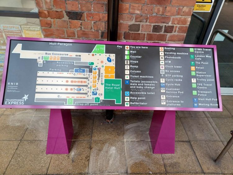
Each combines visual and tactile elements in a mixture of layers, visual contrasts, textures, raised large print and braille lettering, together with tactile and visual symbols. They are made from exterior grade signage plastic with a non-glare matt finish over a coloured layer that resists fingerprints and is stable under ultraviolet light.
TPE plans to install Maps for All at Huddersfield, Middlesbrough and Scarborough stations in the future. Earlier this year, the publicly-run operator launched My Station View and GoodMaps Explore, two new technologies designed to help passengers navigate its across the north of England.

Other operators, including Govia Thameslink Railway, already have tactile maps on their stations.
Chris Jeffrey, TPE's Accessibility and Transport Integration Manager said: “I am delighted that we now have RNIB Maps for All at at our Hull Paragon, Dewsbury and MIA stations.
“We are committed to making our services as inclusive and accessible as possible and are continuously looking for new and innovative ways to achieve this.
“We installed the maps following feedback from our Customer and Professionals Accessibility Panel who suggested a physical alternative to the many digital wayfinding innovations TPE already has in place.
“These maps will help blind and partially sighted people navigate our stations more easily and independently, but they are also great for anyone who is new to a station and needs visual directions.”


