


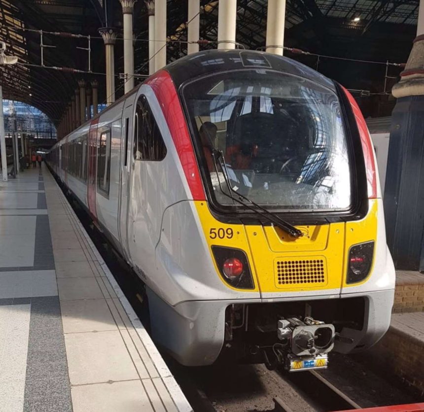
Guides that show passengers how to access alternative methods of travel to complete their journeys if disruption hits the rail network have been created by Greater Anglia.
The guides are available at the company's busiest stations, and show which nearby train and bus routes passengers can use routes to get to their destinations.
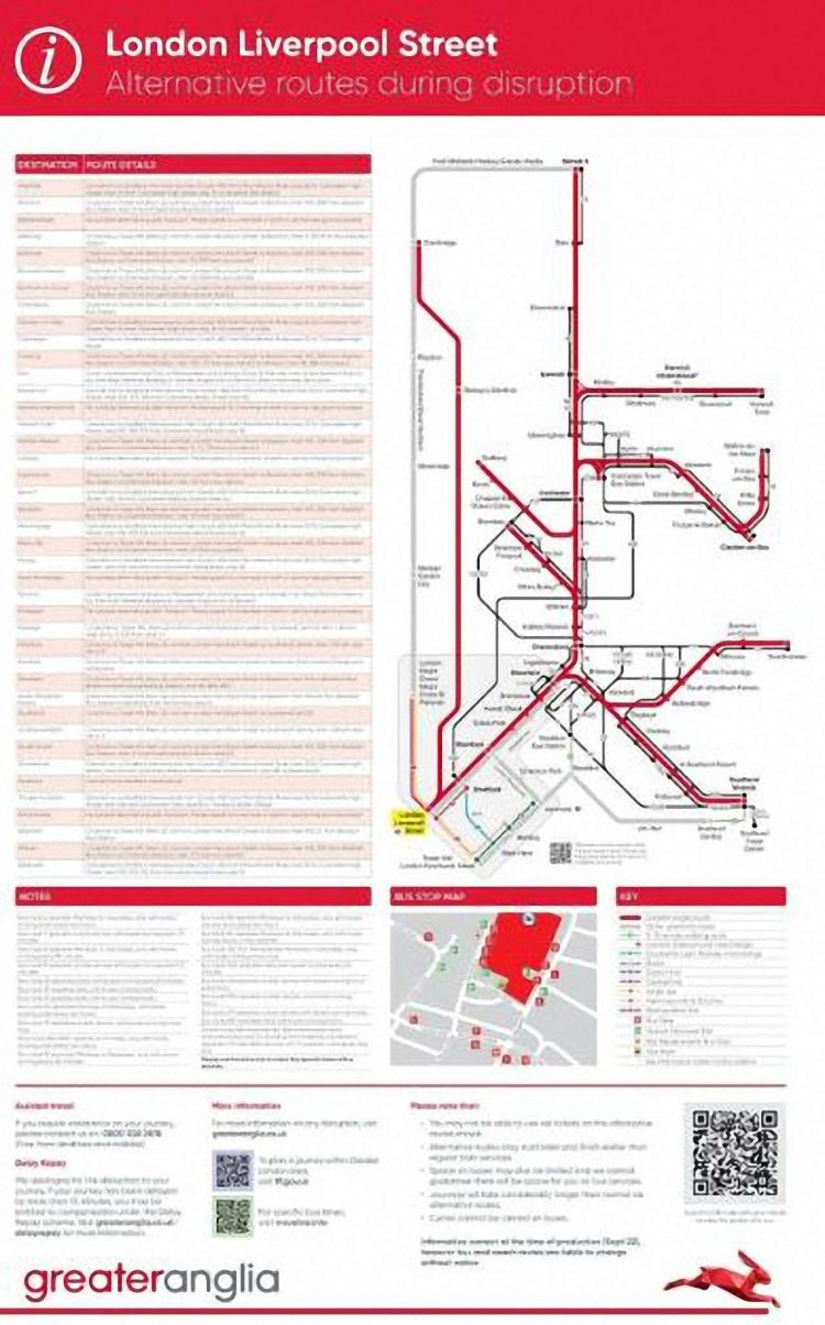
Towns across Greater Anglia's network in the East of England are covered by the guides, and they will also be available as posters showing maps and information. They are available at stations at Billericay, Bishops Stortford, Bury St Edmunds, Cambridge, Chelmsford, Cheshunt, Colchester, Ely, Harlow Town, Ingatestone, Ipswich, London Liverpool Street, Newmarket, Norwich, Shenfield, Southend Victoria, Stansted Airport, Waltham Cross, Wickford, Witham and Tottenham Hale stations. The posters are also available on the station information pages on www.greateranglia.co.uk
The posters are of a large size so that if problems occur can be displayed in prominent locations at stations. There are QR codes on the posters which people can scan to download the information onto their mobile phones, and also use for links to the Transport for London journey planner and the bus times website TravelLine.info.
They were produced as a result of analysing customer's commonly asked questions during travel disruption on the @greateranglia Twitter feed.
Martin Moran, Greater Anglia's commercial and customer service director, said: “No-one likes it if things go wrong.
“These posters have been created to make it as easy as possible for our customers to complete their journeys during disruption so they can get home as quickly as possible.
“We will continue to try to get trains on the move as soon as possible, but we're giving our customers all the options available to them in case they don't want to wait for any disruption to clear.”


It’s a start, but not yet comprehensive (for all stations or all modes).
Should really show express coaches where evaiable (e.g. London/Stansted/Cambridge; London via various places to Norwich.).
No poster for Sudbury (which I think does have buses to Colchester or Mark’s Tey). Sheringham/Cromer also (Sanders Route 44 to Norwich, other operators on parts of the branch also)
Yawning gap between Stowmarket and Diss, but that may be a reality (in which case they should mark it as a taxi with approximate fare and contact numbers or “will be arranged via Help point for a group taxi)
etc,
Well that would confuse and even frustrate passengers who use Greater Anglia.